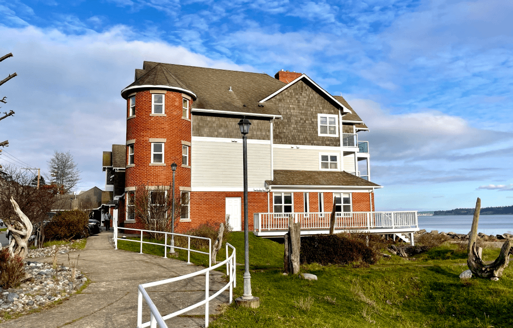
Welcome to Tides Inn & Suites
RECENTLY RENOVATED!
Premiere waterfront accommodation conveniently located within short walking distance to historic downtown Port Townsend.
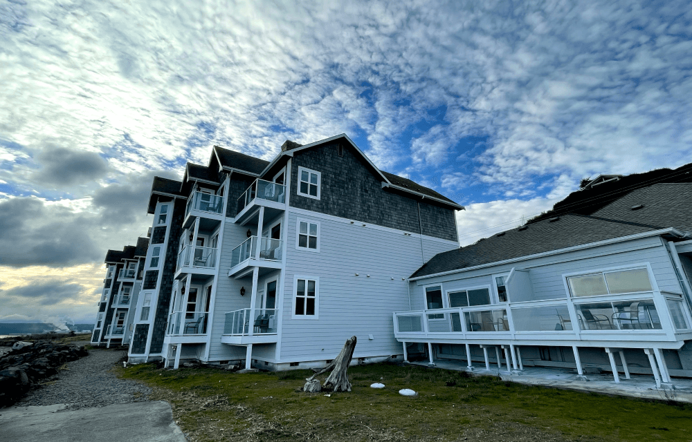
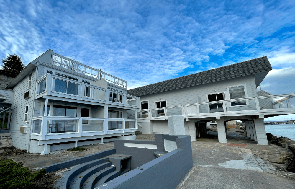
The Tides Inn provides a relaxing waterfront accommodation on Port Townsend Bay.
Enjoy the nature’s seascape right from the comfort of your room with spectacular views of sailboats, kayaks, and yachts as well as views of the Cascades and Olympic Mountains. Free in-room Wi-Fi offered for added comfort.
Rooms
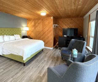
An Officer and a Gentleman Suite – Large Private Deck With Ocean View
- 100% non-smoking room
- Refrigerator and microwave
- In-room hairdryer
- Free Wifi
- Free in-room coffee
- Flat Screen HDTV
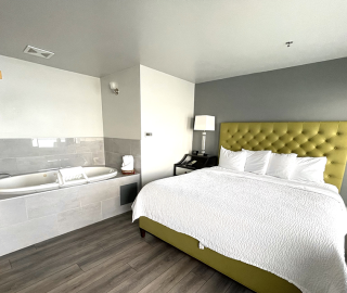
Premium King Deluxe Room – 1 King Bed – Large Private Deck With Ocean View
- 100% non-smoking room
- Refrigerator and microwave
- In-room hairdryer
- Free Wifi
- Free in-room coffee
- Flat Screen HDTV
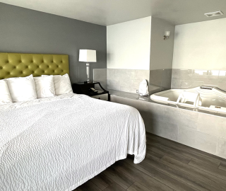
Premium King Room – 1 King Bed – Large Private Deck With Ocean View
- 100% non-smoking room
- Refrigerator and microwave
- In-room hairdryer
- Free Wifi
- Free in-room coffee
- Flat Screen HDTV
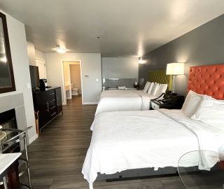
Premium Double Room – King & Full Bed – Large Private Deck With Ocean View
- 100% non-smoking room
- Refrigerator and microwave
- In-room hairdryer
- Free Wifi
- Free in-room coffee
- Flat Screen HDTV
Select the best room for you….
SELECT THE BEST ROOM FOR YOU
Gallery
Gallery